United States Naval Research Laboratory
Bio-Optical/Physical Processes and Remote Sensing Section
Characterizing Pelagic Habitats within U.S. Gulf of Mexico Coastal Waters Using Satellite Derived Data and Machine Learning Algorithms (Eco-Mapping)
Objective:
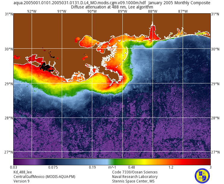
Estuaries within the Gulf of Mexico (GOM) provide critical feeding, spawning, and nursery habitats for commercial and recreational fish species; however, these habitats are increasingly under pressure from human development (EPA 2007). Coastal and marine habitats can be significantly and rapidly impacted by a number of anthropogenic actions and natural events such as coastal storms, development and hydrological alterations. These habitats are not confined to political boundaries and it is often necessary and beneficial to the fisheries for managers in adjacent states to collaboratively manage the fisheries and work to conserve fisheries habitats. Under the auspices of the Gulf of Mexico Alliance, the Gulf States have identified the need to have access to habitat maps within the Gulf. For this project we wil delineate and map pelagic habitats and assess habitat condition for select estuaries and coastal waters within the Gulf of Mexico, utilizing NASA products to produce GIS layers for bottom to surface temperature differences, salinity, frontal probabilities, trophic status and photic quality. Select areas within the GOM have been identified based on availability of data and end-user interest. The pelagic habitat maps will be compared to NOAA's Essential Fish Habitat maps as well as fish distribution and habitat change assessed.

